


- Location
- Algeria’s extreme north-east
- Tonga
- A seasonal freshwater lake linked to the Mediterranean, within El Kala National Park
- Oubeïra
- An endorheic freshwater lake, important for groundwater recharge
Tonga and Oubeïra are both freshwater lakes, but water moves through their landscapes differently. Tonga is seasonal and linked to the Mediterranean; Oubeïra belongs to a closed drainage basin. Starting with that difference gives El Kala a clearer identity than treating its lakes as a sequence of similar shoreline stops. In this far north-eastern corner of Algeria, the wetland story also includes wooded hills, wet forest and dunes.
Tonga and its wooded margins
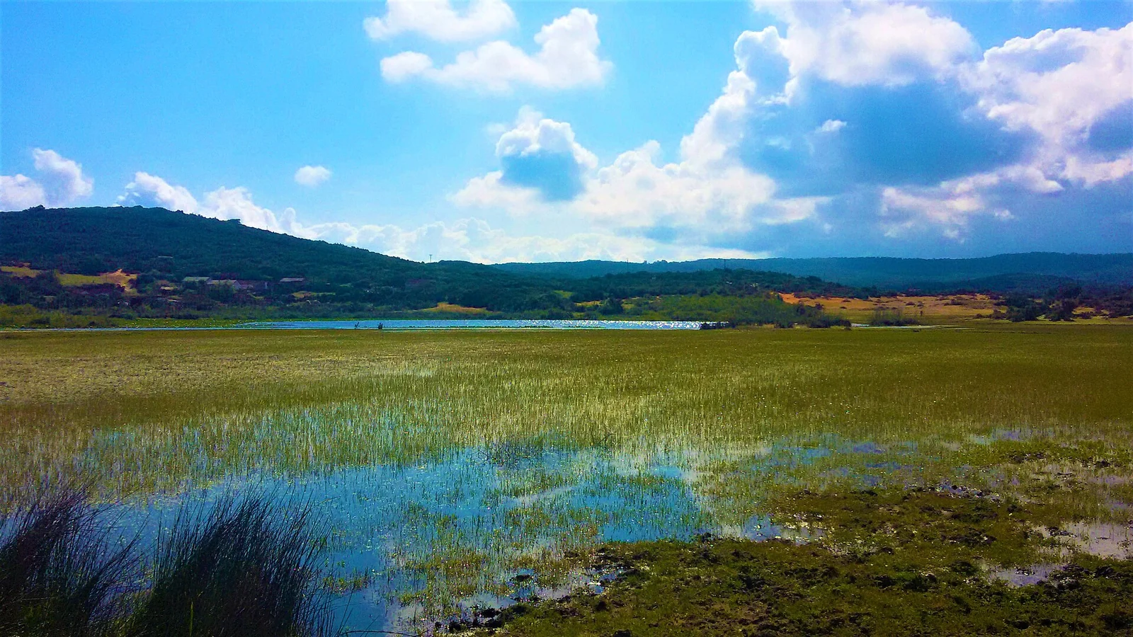
Lake Tonga’s wetland complex lies within El Kala National Park. Its seasonal freshwater and connection with the sea are part of a system that includes wooded hills, wet forest and a sand dune landscape. Aquatic plants are an important element of the lake’s habitat. A broad view of open water therefore tells only part of the story; the margins and surrounding land deserve attention too.
Herons and egrets nest here, along with western marsh harrier and other waterbirds, including threatened species. That breeding role gives Tonga a particular ecological interest. An outing focused on the wetland can consider how water, vegetation and surrounding habitats fit together, with birdlife as one part of the whole.
Oubeïra’s closed basin
Oubeïra is endorheic: its surface drainage belongs to a closed basin. The wetland complex also includes a major dune system and is important for groundwater recharge. Both lakes are freshwater, but Tonga’s connection with the sea makes their hydrological settings quite different.
Plants give Oubeïra another point of interest. Water chestnut, Trapa natans, and yellow water-lily, Nuphar luteum, feature in its Ramsar account. They are good reasons to make vegetation a subject in its own right. A visit concerned with the lake’s ecology can leave as much time for considering aquatic plants and their setting as for identifying birds.
Nesting and wintering are different stories
Tonga’s nesting birds and Oubeïra’s seasonal birdlife give the two wetlands different emphases. At Oubeïra, resident birds share the lake’s ecological account with wintering white-headed duck, greylag goose and great cormorant. Thinking in terms of residents and seasonal visitors is more revealing than combining every species into one list.
For a bird-focused outing, patience is a useful starting point. Time spent watching one suitable stretch of water and its vegetation can offer more than repeated moves in search of a particular species. The interest lies in the habitat and the season as well as identification, leaving room for an enjoyable visit with whatever is present on the day.
Beyond the freshwater
El Kala Biosphere Reserve brings marine, dune, lake and forest ecosystems into the same landscape. Its marine strip includes corals and Posidonia seagrass meadows. The sea thus has its own ecological importance alongside the freshwater systems inland.
The reserve’s UNESCO nomination dates to 1990. At this broader scale, El Kala is a place to consider relationships between different environments. A traveller may spend most of a visit beside one lake, yet understanding that wider setting adds depth to what is visible there: freshwater sits within a region that also includes forest, dunes and marine habitats.
Livelihoods around the water and woods
Agriculture, extensive livestock husbandry, beekeeping, fishing and forest use are among the reserve’s livelihoods. Water and woodland have everyday uses alongside their conservation value. This is an inhabited region, so allow room for people’s work while visiting. A day devoted to birds or aquatic plants can still take account of the communities around the lakes.
Choose the lake, then arrange the visit
Tonga and Oubeïra have separate Ramsar wetland designations. Choose the lake that best fits your interests, then ask the park authority about the permitted stopping places, intended activity and current conditions, including seasonal water at Tonga. Confirm transport and return arrangements. Keep away from nests and fragile margins, give people and working equipment space, and check customs requirements before bringing binoculars or specialist photographic equipment. Allow the wildlife to remain at a distance.
