


- Setting
- Kabylie’s Mediterranean coast, north-west of Béjaïa
- High point
- The massif reaches 672 metres at Fort Gouraya
- Wider reserve
- Includes Lake Mézaïa and a marine area west of the Gulf of Béjaïa
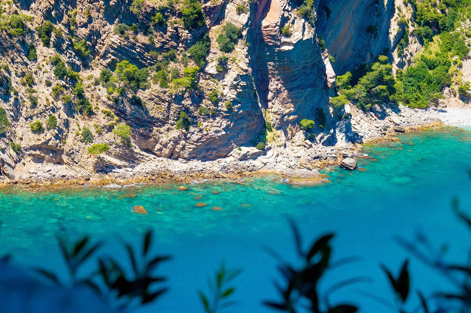
Gouraya rises north-west of Béjaïa, where the massif reaches 672 metres at Fort Gouraya. Its position beside the city and the Mediterranean makes the relationship between height and coast central to its character. The limestone has different faces: wooded ground, southern slopes with oak and grasses, and northern cliffs with their own coastal plant communities.
The national park and the overlapping biosphere reserve share the Gouraya name. Looking at the wider reserve brings Lake Mézaïa and a marine area into the picture, giving this coastal mountain a setting that extends beyond its most familiar outline.
South-facing slopes and northern cliffs
Aleppo pine grows on Mount Gouraya’s limestone. On the southern side, kermes oak and grass communities are characteristic; to the north, sharp relief and cliffs support distinct coastal vegetation. The contrast makes the direction of a slope worth noticing alongside its height.
For a landscape-focused visit, consider how these different faces belong to the same massif. A view dominated by pine gives one impression of Gouraya, while the northern cliffs suggest another. Comparing them in a broad view, or concentrating on the vegetation along a chosen walk, can give an outing a purpose beyond reaching a high point.
Pine, olive and coastal scrub
Olive, carob, myrtle and pistachio feature alongside pine in the reserve’s forest vegetation. Maquis, the Mediterranean scrub, adds another form of plant cover. Together they give the wooded parts of Gouraya a more varied character than the phrase ‘pine forest’ suggests.
These forests and maquis are also habitat for Barbary macaques. The connection between plant cover and animal life adds depth to an outing centred on the coast: the mountain has an ecological interior as well as a seaward face. Time spent looking at the vegetation is a way into that subject, with wildlife remaining part of the habitat rather than the day’s objective.
Mézaïa and the waters of the gulf
Lake Mézaïa belongs to the biosphere reserve, as does a marine area west of the Gulf of Béjaïa. They broaden a description of Gouraya that might otherwise stop at the cliffs. The lake brings a wetland setting into the reserve, and the marine component carries its scope into the Mediterranean.
These different environments suggest different interests for a visit around Béjaïa. Someone drawn to mountain relief may choose the massif as the main subject; an interest in wetlands gives Mézaïa its own place in a plan. Allowing each some attention is more useful than trying to fit all of the reserve’s environments into one outing.
How the reserve fits together
Gouraya entered UNESCO’s Man and the Biosphere network with a nomination in 2004. Its zoning brings different conservation purposes into the same reserve. The core corresponds to the national park’s strict reserve, buffer zones help protect it, and a transition area includes tourism infrastructure.
The zoning accommodates both tightly protected habitat and human activity. Forest ecology, the marine environment and village livelihoods all belong within the biosphere reserve’s conservation approach. The overlapping national park and biosphere reserve nevertheless have different geographical and management frames, a distinction worth keeping in mind when choosing a visiting area.
The working hillsides
Villages and cultivated hills are part of Gouraya’s setting. Mountain and hill farming includes beekeeping and fruit growing, alongside commercial and craft activities in the wider account of local livelihoods. This human presence gives another scale to the landscape: the mountain beside Béjaïa is also a place where people live and work.
For a walk, confirm the route, permitted zone and current restrictions with the park authority, including any proposed approach to Fort Gouraya. Choose footwear for the actual terrain, carry water and settle the return; proximity to the city is a poor measure of effort. Leave wildlife undisturbed and never feed macaques. Respect cultivated land and apiaries, and check separate access arrangements for Lake Mézaïa or any facility you hope to visit.
