ALG DZ · Nature and heritage

Algeria’s national and cultural parks

Algeria, landscape by landscape

Eight selected national parks in the north and two cultural parks in the Sahara: choose among cedar mountains, coastal woodland, freshwater lakes and landscapes shaped by a long human history.

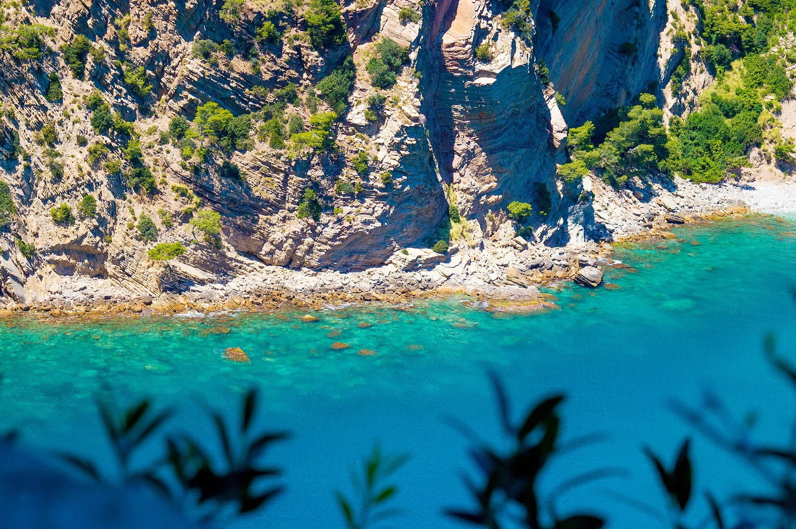
Pale coastal cliffs meeting turquoise water at Cap Carbon.
Cliffs and turquoise water at Cap Carbon, Gouraya National Park. Halim Ben Khalfallah · CC BY-SA 4.0

Explore

What would you like to spend time with?

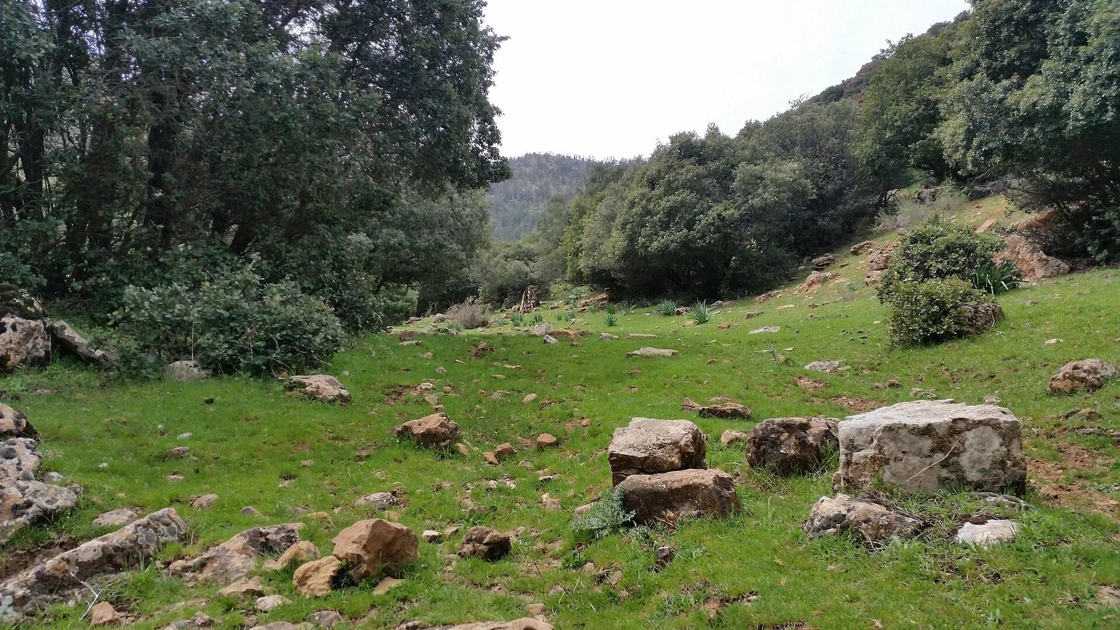
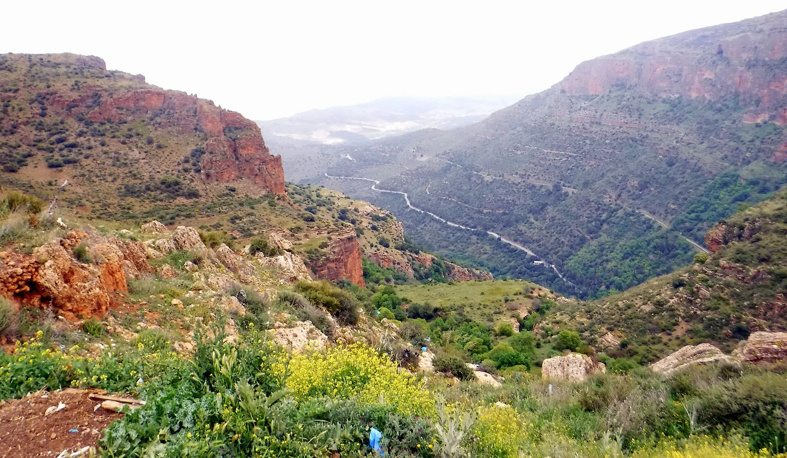
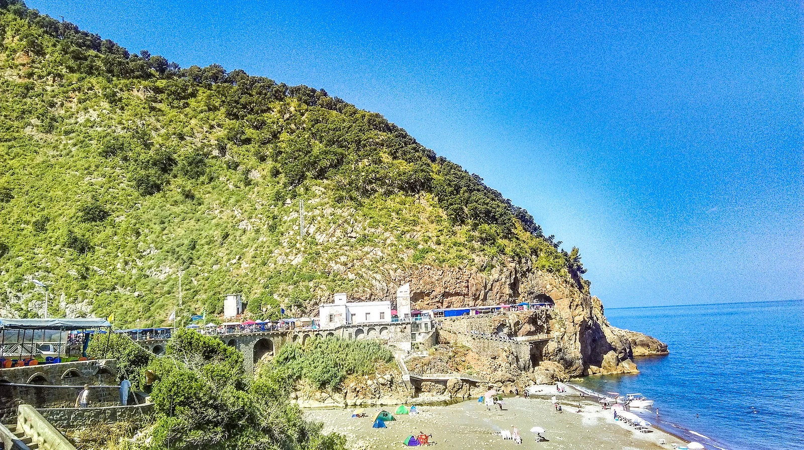
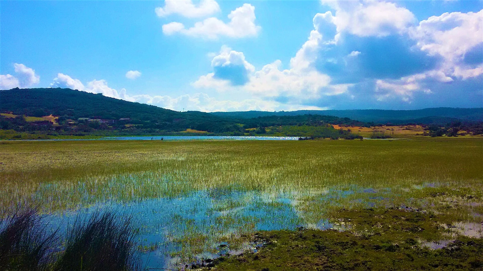
The cedar parks have different stories. Chréa’s wooded ridges form a water reservoir for nearby cities; at Théniet El Had, cedar and oak mark the meeting of Ouarsenis and Serssou. Djurdjura changes with altitude and exposure, while Belezma’s folds give its forests a varied mountain setting. On the coast, Gouraya puts limestone heights beside Béjaïa, and Taza draws attention inland to Guerrouch’s oaks. El Kala changes the pace again, with freshwater lakes whose habitats deserve an unhurried look. Choose a landscape that interests you, then leave time for its details.

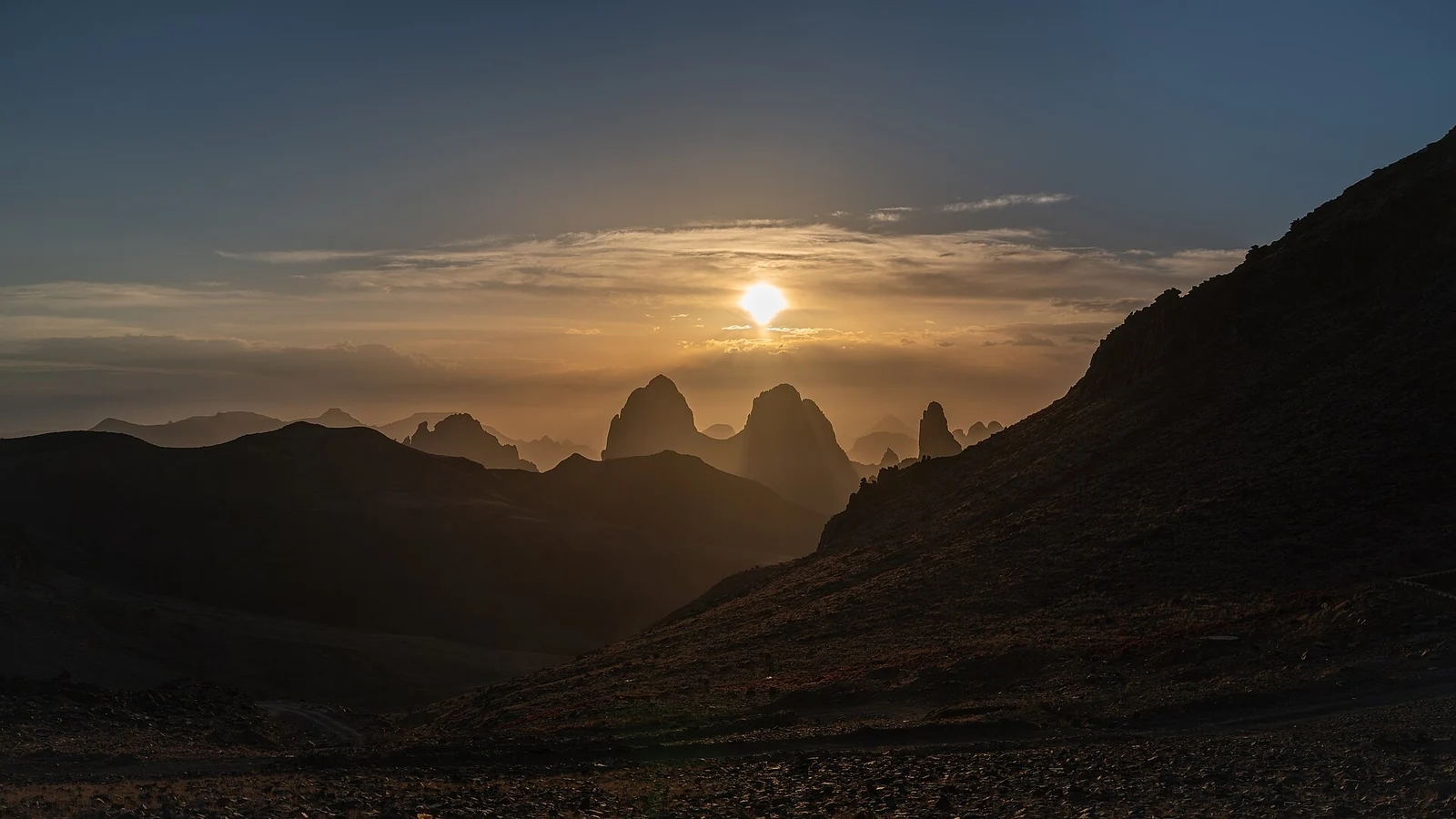
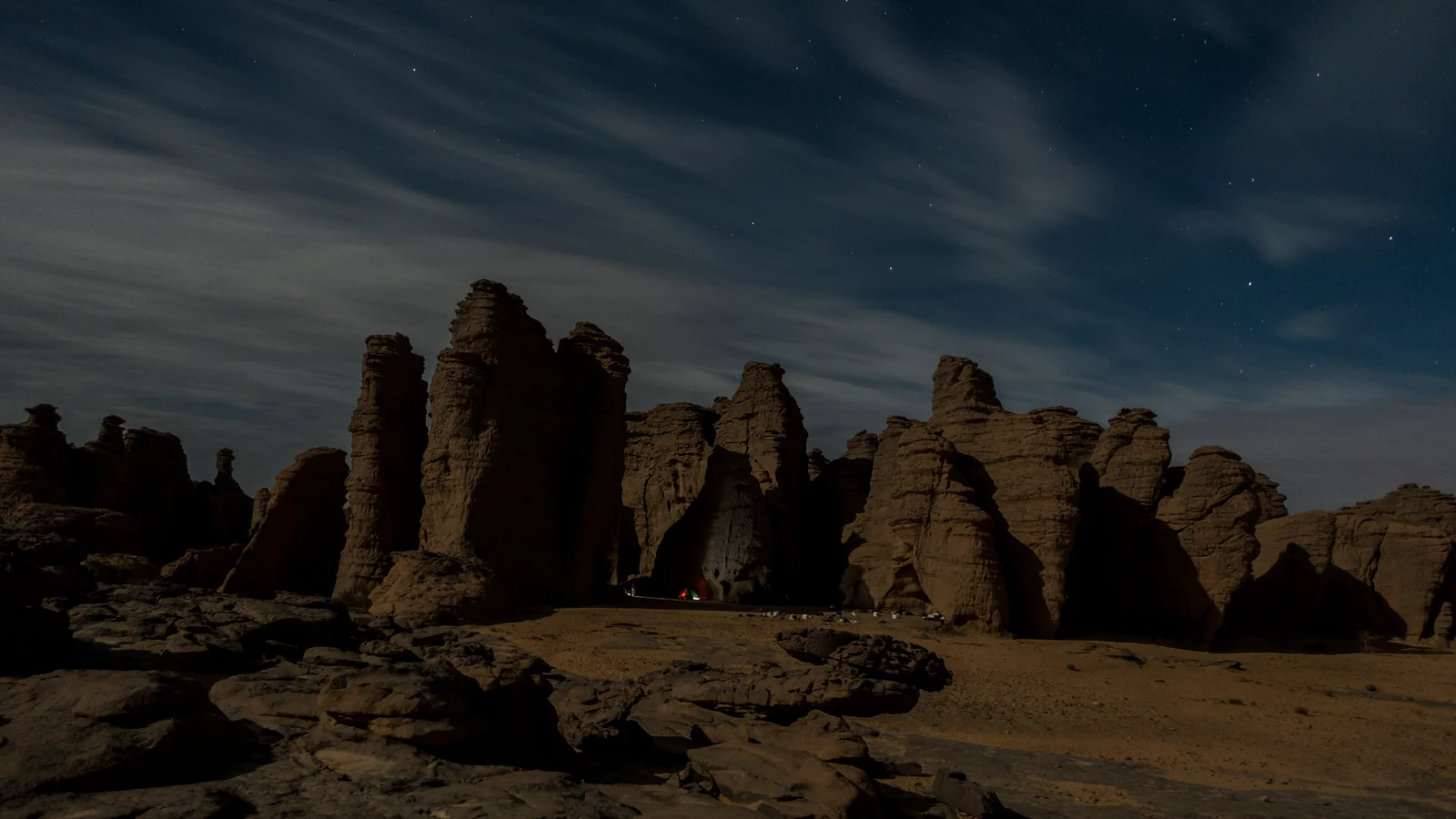
Ahaggar and Tassili n’Ajjer call for separate journeys into Saharan cultural landscapes. Assekrem’s view across Atakor gives Ahaggar a mountain focus, while Afilal’s water supports plants, fish and local communities. At Tassili, water and wind shaped the sandstone; drawings and engravings record changing environments and human life. These cultural parks link natural and cultural heritage across broad territories. A particular excursion is one way into that setting, so begin with the places you most want to understand rather than the number of stops.

National parks

Find your bearings

Compare the eight northern national parks, then use the whole-country view to locate Ahaggar and Tassili n’Ajjer. Each point opens a guide.

Northern Algeria

Northern AlgeriaIllustrative location anchors only, not entrances, protected-area boundaries or walking routes. Use the map for orientation, not navigation.ChréaDjurdjuraThéniet El HadBelezmaTlemcenGourayaTazaEl Kala

All of Algeria

All of AlgeriaIllustrative location anchors only, not entrances, protected-area boundaries or walking routes. Use the map for orientation, not navigation.AhaggarTassili n’Ajjer
  1. Chréa
  2. Djurdjura
  3. Théniet El Had
  4. Belezma
  5. Tlemcen
  6. Gouraya
  7. Taza
  8. El Kala
  9. Ahaggar
  10. Tassili n’Ajjer

Illustrative location anchors only, not entrances, protected-area boundaries or walking routes. Use the map for orientation, not navigation.

Map: ALG DZ. Country outline: Natural Earth (public domain). Location metadata: Wikidata and Wikimedia Commons. Natural Earth

National park

Eight northern national parks

Wooded mountains, coastal heights and wetland country offer different reasons to spend time outdoors. Explore the setting before choosing the outing.

Blida Atlas · National park

Chréa: cedar country above the cities

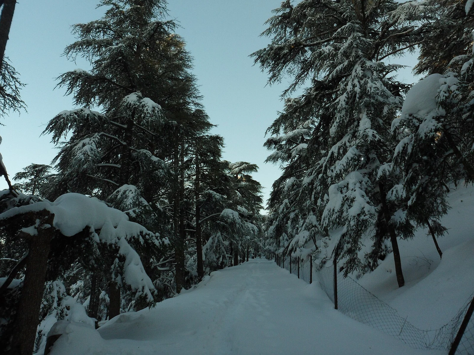
Atlas cedar grows on the wooded ridges of Chréa, in the Blida Atlas. The mountain also has a less visible connection to Algiers, Blida and Médéa: its biosphere reserve is an important water reservoir for all three cities, giving a forest visit a wider story to follow.

Read the guide

National park · Mountain forests and meadows

Djurdjura: the changing forests of the mountain

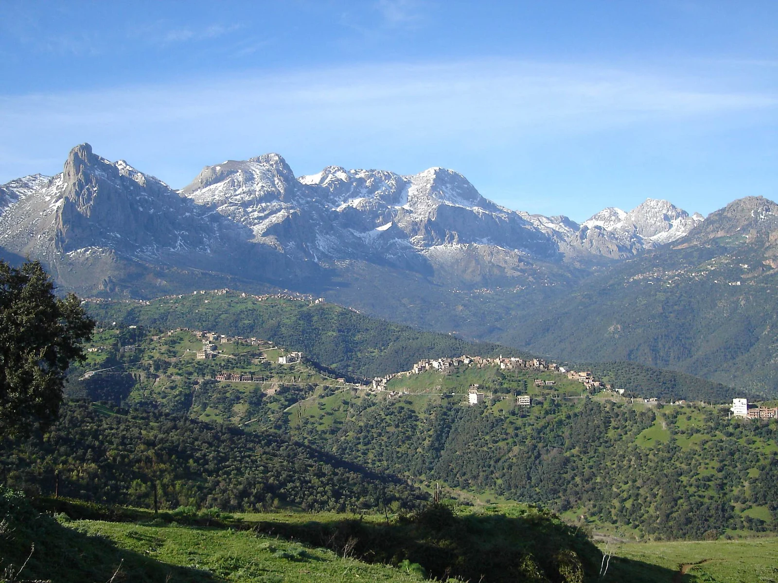
Oaks, maples and Atlas cedar belong to different parts of Djurdjura, with alpine meadows opening another chapter in its vegetation. Altitude and the direction a slope faces help explain the changes, giving the mountain an interest that extends well beyond a view of its peaks.

Read the guide

Batna Province · Aurès mountains · National park

Belezma: cedar and the folds of the Aurès

Belezma’s cedar habitats occupy the folded terrain of a range within the Aurès mountain system. Forest, shrubland and open ground share the slopes, while the wider biosphere reserve brings foothill farming and historical places into the story of the mountains around Batna.

Read the guide

North-west Algeria · National park

Tlemcen: a city beneath the plateau

Lalla Setti overlooks Tlemcen from a landscape of cliffs and caves. The national park sits within the wider Tlemcen Mountains Biosphere Reserve, where woodland and rural life share the regional story with Mansourah, Sidi Boumediene and the minaret of the Agadir mosque.

Read the guide

Kabylie · Mediterranean coast

Gouraya: the two faces of Béjaïa’s mountain

Above Béjaïa, Gouraya’s limestone carries pine woodland, southern oak and grass communities, and distinct vegetation on its northern cliffs. Lake Mézaïa and the waters west of the gulf widen the setting of the biosphere reserve beyond the mountain beside the city.

Read the guide

Jijel coast · National park

Taza: oak woods behind the Jijel coast

Taza’s Mediterranean setting includes cliffs and beaches, with mountains, valleys and the oak woods of Guerrouch inland. The forest is a reason to give the Jijel coast an unhurried visit, whether the interest is in the Babors’ endemic wildlife or the place of cork in local livelihoods.

Read the guide

Algeria’s extreme north-east · National park and wetlands

El Kala: two lakes, different waters

Tonga links a seasonal freshwater lake to the Mediterranean, while Oubeïra lies in a closed drainage basin. Their different waters give El Kala’s wetlands a particular interest, with aquatic plants and birdlife set among dunes, wooded hills and the wider reserve’s forests and sea.

Read the guide

Cultural park

Two Saharan cultural parks

Ahaggar and Tassili n’Ajjer bring natural landscapes and cultural heritage into the same story. Give each its own journey and its own pace.

Saharan Algeria · Cultural park

Ahaggar: Atakor’s mountains and Afilal’s water

Assekrem looks out over the Atakor plateau, while the pools of Afilal bring water and living habitats into Ahaggar’s desert landscape. Rock engravings and the region’s built heritage give this cultural park a human history that deserves time alongside the mountain views.

Read the guide

Keep wildlife at a distance, leave rock art and archaeological material untouched, and ask before photographing people. Protect water used by communities and animals.

Look closer

Four ways to look closer

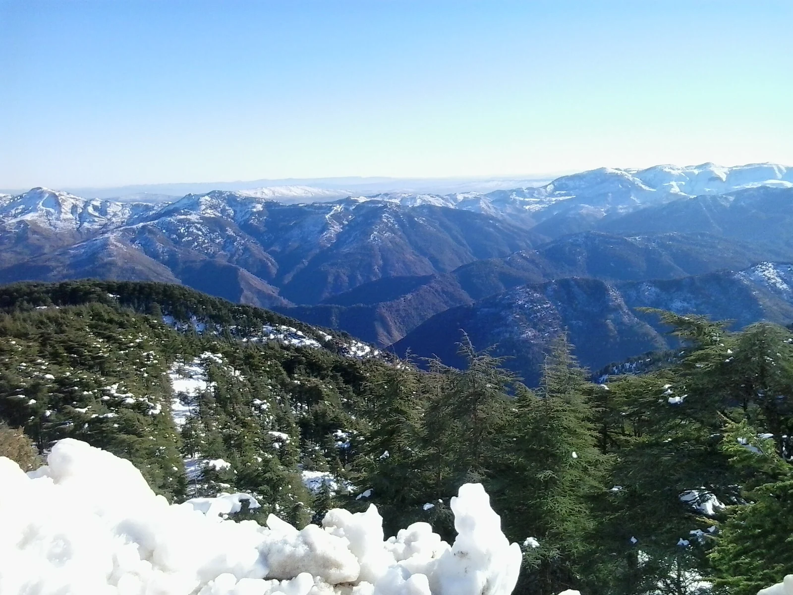
Snowy mountain ridges above a foreground of dark conifers and snow at Chréa.
Snow across the wooded mountains of Chréa National Park. Hichem amez · CC BY-SA 3.0

Plan your visit

Leave room in the itinerary

Choose a base and an outing that suits the group. The practical guide brings together the questions to settle before booking, from guiding and current access to water, equipment and the return journey.

Check the forecast, recent conditions and official closure notices shortly before travel, including wildfire and flood alerts.

Read the guide

Sources

Named sources and their check dates appear at the foot of each guide.

Photo credits

Photos have been resized and converted to WebP. The layout uses display crops; the original downloadable photo files are not cropped.

Back to top