


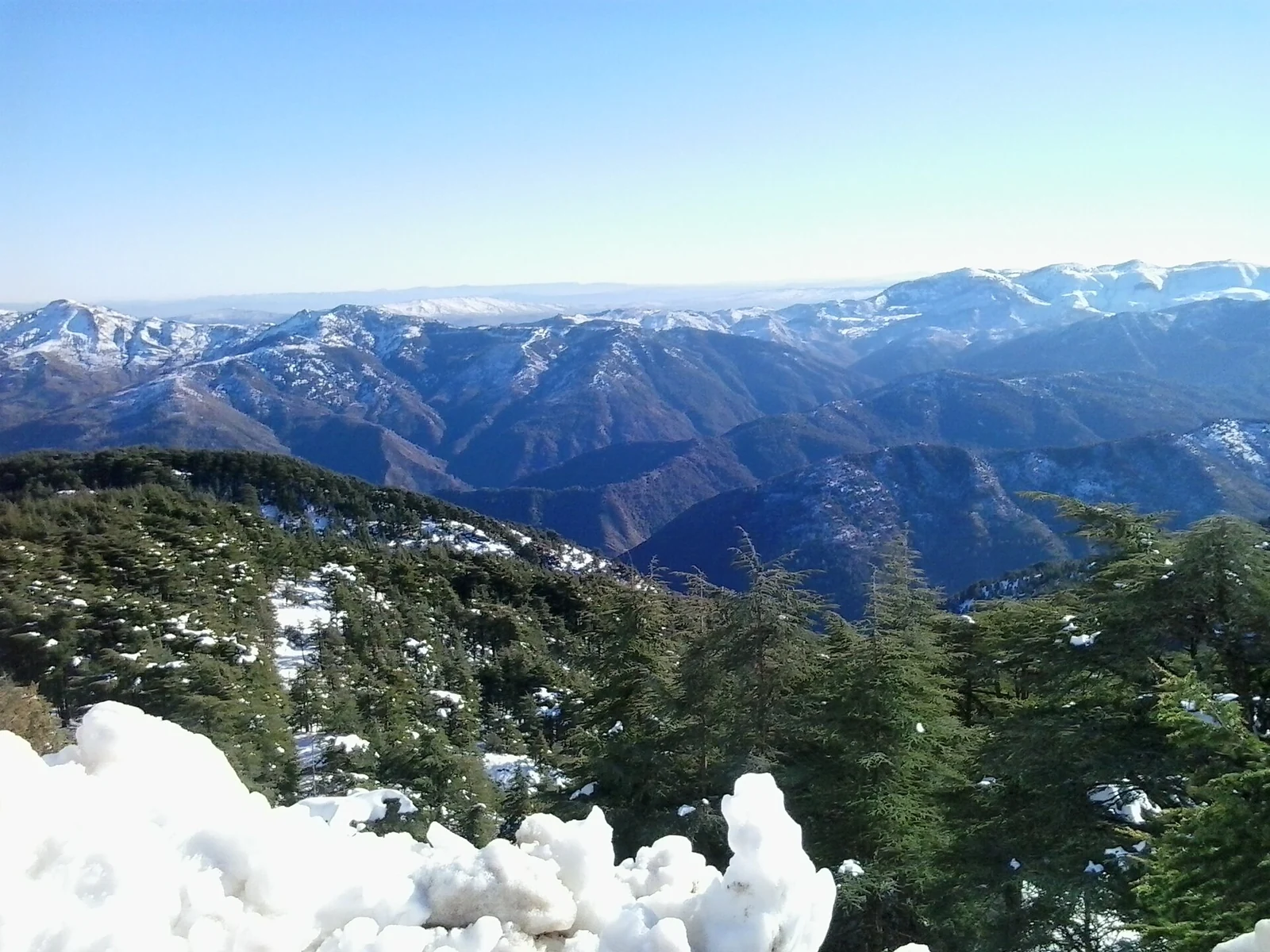
- Setting
- The Blida Atlas, south-west of Algiers
- Forest
- Atlas cedar habitat in the northern Atlas Mountains
- Water
- The biosphere reserve is an important reservoir for Algiers, Blida and Médéa
Chréa belongs to the mountain country of the Blida Atlas, yet its water links it to daily life in Algiers, Blida and Médéa. Wooded ridges and urban needs meet in the same landscape. Atlas cedar is one of the national park’s characteristic trees; the surrounding biosphere reserve protects rare northern Atlas ecosystems and provides an important water reservoir for the cities. That connection is a useful starting point for a visit, whether the interest is in the forest itself or the mountains around Blida.
The mountain on both sides
South-west of Algiers, the Chréa Biosphere Reserve extends along the northern and southern ridges of the Blida Atlas. Keeping both sides in mind gives the mountain some depth: a single wooded slope is one part of a larger setting. For an outing centred on the landscape, consider how the forest occupies the relief and how the ridges relate to each other. A broad view and a closer look at a stretch of woodland offer different ways into the same subject.
Time among the cedars
Atlas cedar gives a forest visit a particular focus. Rather than making a long species list, allow time to look at the trees’ shapes and their place on the slopes. Comparing a few trees, or following the outline of a wooded ridge, can be more rewarding than adding another stop to the day. It is an approach that suits a modest outing as well as a longer walk.
The national park is also habitat for the Barbary macaque. Together, the trees and wildlife place Chréa within the ecosystems of the northern Atlas, some of them rare and endangered. The forest has value as a habitat in its own right, including the parts of its life that remain out of sight during a visit.
A reservoir for Algiers, Blida and Médéa
The reserve is an important water reservoir for Algiers, Blida and Médéa. Protecting its forests is therefore a matter of everyday urban life as well as conservation. Keeping watercourses clean and carrying litter out are small, practical ways for visitors to respect that connection.
A place of study and a lived landscape
Research and education are part of Chréa’s conservation history. UNESCO’s account describes an eco-museum established for public awareness and a research station in the national park with student placements and educational activities. Their work places the forest in a longer conversation about how people study and care for the mountain. Chréa’s biosphere nomination dates to 2002.
Arab, Andalusian and Amazigh cultural strands are also part of the reserve. Chréa is a lived-in mountain landscape, closely connected to the surrounding cities and communities. Interest in its cedar woodland can sit alongside respect for the people whose lives and cultural traditions belong to the area.
A separate excursion to Chiffa
For a different view of the region around Blida, consider the Chiffa gorges as a separate excursion. On the Blida–Médéa side, steep mountain slopes frame cascades and the oued below. Here the watercourse provides the focus, in contrast to an outing built around Chréa’s wooded ridges. Giving each its own place in a travel plan leaves time to appreciate that difference. The gorges are a neighbouring destination, while this guide’s forest story concerns Chréa and its biosphere reserve.
Choosing the outing
Let the woodland set the pace. A visit with room to stop and compare the trees can do justice to Chréa without depending on the snow shown in its cover photograph. Decide whether the day’s focus is a mountain view or time on foot, then ask the park authority about the permitted area, current conditions and any restrictions. Arrange the return before walking, carry drinking water and suitable clothing, and keep food away from wildlife. Leave macaques undisturbed and ask separately about any educational facility you hope to visit.
