


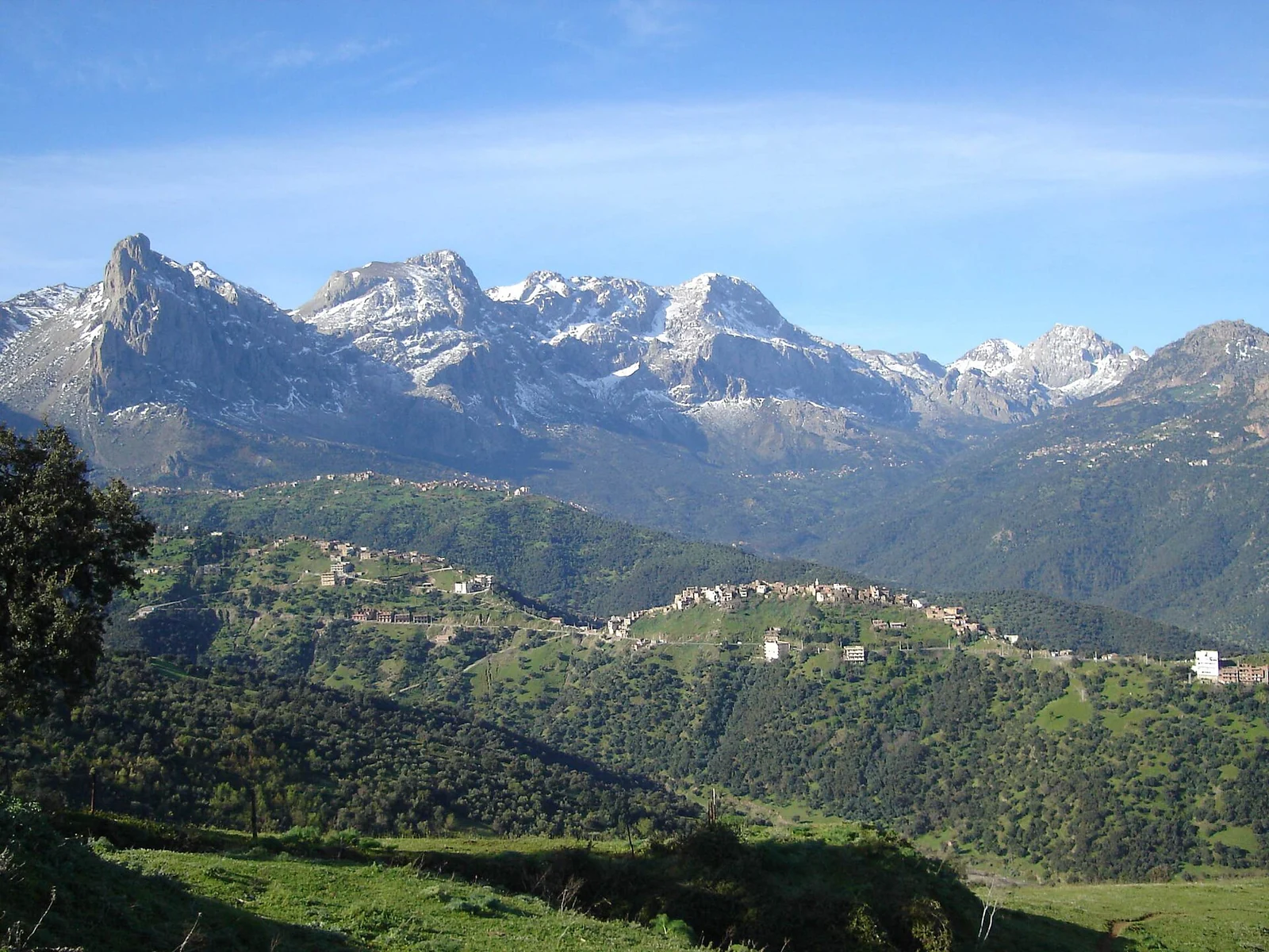
- Reserve elevation
- 800–2,300 metres in the Djurdjura Biosphere Reserve
- Climate
- Mediterranean, with a more continental influence to the south
- Vegetation
- Evergreen, deciduous and coniferous forests, with alpine meadows
A mountain can hold several kinds of forest. In Djurdjura, evergreen woodland, deciduous trees and conifers occupy different settings, alongside alpine meadows. Height matters, but so does exposure: the direction a slope faces helps shape its vegetation. These changes give the mountain a subject worth following slowly, with as much attention to the wooded ground as to the peaks above it.
Height and the direction of a slope
The Djurdjura Biosphere Reserve spans a stated elevation range of 800–2,300 metres. Its climate is Mediterranean, with a more continental influence to the south. Those two facts help explain why a description of one part of the mountain cannot describe all of it. Elevation and exposure work together across the reserve.
When looking across the slopes, try following the changes in vegetation as well as the line of the relief. It is a way of reading the mountain that leaves room for variation at a similar height, instead of imagining one simple sequence of trees leading upwards to meadow.
Oaks, maples and cedar
Holm and cork oaks are among the reserve’s evergreen trees. Maples bring a deciduous element, while Atlas cedar belongs to its coniferous communities. Alpine meadows provide a further contrast with these wooded habitats. Each is part of Djurdjura’s ecological variety, rather than a collection to be encountered together at one stop.
A useful focus for a forest outing is the difference between these groups. Compare the shapes of trees and the character of the woodland before trying to identify every species. Choosing one area and giving it time can make those distinctions easier to follow than a day spent moving between many places.
The next generation of black pine
Black pine is a relict species in Djurdjura. UNESCO describes research into its potential for natural regeneration: the concern is how a new generation of trees can become established. This gives the woodland an interest beyond the size and appearance of its mature trees. For a forest-focused visit, allow time to look at the vegetation as a whole rather than treating individual trees as isolated sights.
The forest beyond the view
M’Zaris Forest is habitat for the striped hyena. It is worth knowing that this animal is part of Djurdjura’s ecology even on a trip devoted to trees and mountain relief. A woodland supports life that a visitor may never see; an enjoyable outing need not become a search for an animal. Let the forest and the shape of the mountain remain the centre of the day.
Forests and mountain livelihoods
Djurdjura’s biosphere conservation model brings agriculture, pastoralism and forestry into the same discussion as tourism. Its aim is to protect the environment while considering how people use the mountain and its resources. The reserve’s nomination to UNESCO’s Man and the Biosphere programme dates to 1997.
Tourism connected with local cultural heritage is part of that approach. It places a visit within an inhabited mountain landscape, alongside work that has its own purposes and rhythms. For travellers interested in both woodland and local life, that is a reason to allow time for each, rather than making the human setting a footnote to the scenery.
Decide how far into the mountain to go
A stop for a broad view and a mountain walk are different outings. Choose the one that suits your interests and the people travelling, then confirm the permitted area and current restrictions with the relevant authority. For walking, establish the terrain, effort, need for a guide and return arrangements; prepare clothing, food and water for the forecast. Keep wildlife and young growth undisturbed, respect working land and ask before photographing people. If the route or conditions are uncertain, choose a shorter confirmed outing.
